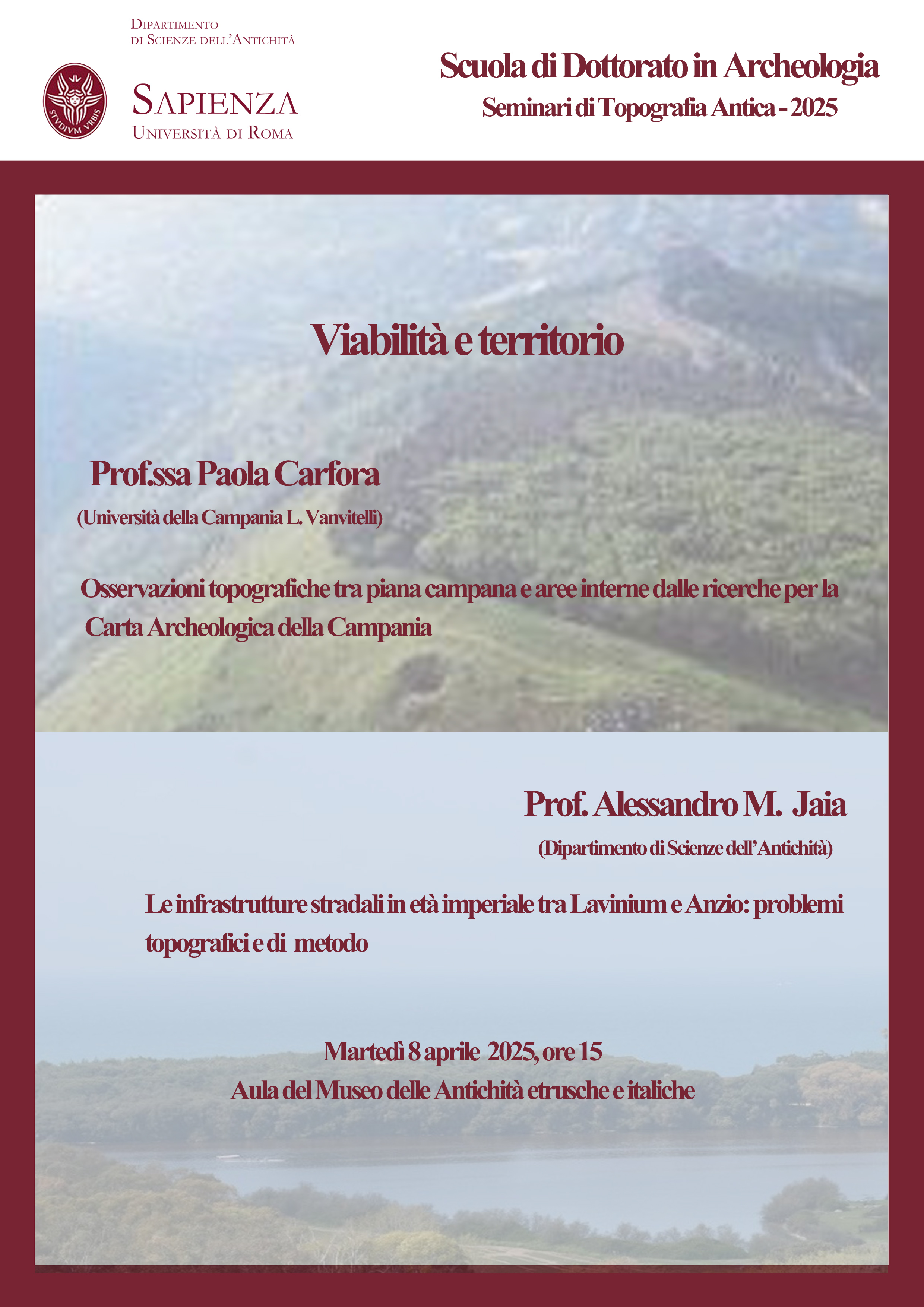
Topographic observations on the road network between the Campania plain and internal districts from the research for the Archaeological map of Campania (Paola Carfora, University of Campania “L. Vanvitelli, DiLBEC)
Road infrastructure in the imperial age between Lavinium and Anzio: topographical and methodological issues (Alessandro M. Jaia, Sapienza University of Rome – DSA)
8th April 2025
Tuesday, April 8, 3:00 p.m.
Topographic observations on the road network between the Campania plain and internal districts from the research for the Archaeological map of Campania.
Paola Carfora (University of Campania “L. Vanvitelli, DiLBEC)
Will be presented the main results of the topographical surveys of University of Campania “L. Vanvitelli, for “Archaeological map of Campania” project in the samnite-caudine district, on the road network, from the late republic to the first imperial period.
The overall framework of the archaeological evidence enables some new considerations on the Appia and on the secondary roads network that goes from Campania plain to Samnio, linking the Caudine area to the Isclero valley. The roads network emerging from the analysis shows the presence of secondary roads that played an important role at the regional level. The data presented shows the observations on the dynamics of occupation generated by the reconstructed roads network.
Road infrastructure in the imperial age between Lavinium and Anzio: topographical and methodological issues
Alessandro M. Jaia (Sapienza University of Rome – DISA)
The route of the so-called Via Severiana, the imperial coastal street that connected Ostia and the mouth of the Tiber River with Circeii and Tarracina remains an unsolved question from a topographical point of view. In particular, the attribution of its route in the territory of Lavinium and Antium relates to the identification of other important routes, such as the Via Laurentina and the paths connected to the Via Appia. The analysis of the data on the road network in this part of Lazio is a good chance to make the most of the tools of topographical research.